The Foot Bridge

foot-bridge2
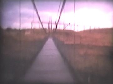
Upper foot bridge. Still frame from home videos.

Here’s a pic of the upper foot bridge that spanned the canyon prior to the completion of the real bridge. I apologize that it’s so blurry. This is a still that I pulled from a video that I have of my parents and a couple of their friends walking across this bad boy. It was originally shot in 8mm, transferred to VHS and then to a DVD. This foot bridge was pre-1960 and in place until some time after Glen Canyon Bridge was completed.

There was (and is) a story floating around that someone drove a VW Beetle over this bridge. If you’re reading this and you can confirm or deny that story, please do. Does anyone remember this foot bridge? I wish I could find more pictures of it. I you have any that you would like to see here,

-Mike
More Extreme Rock Climbing

55-highscalers3
Glen Canyon Dam and Bridge Site

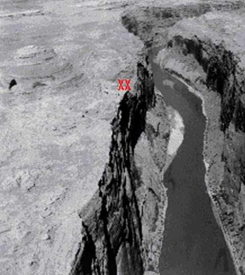
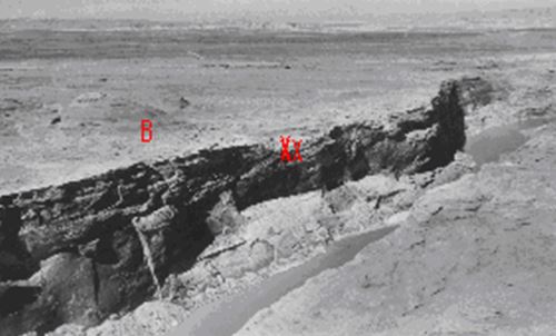
This picture shows the approximate location of the two climbers in the previous photo (the spot marked XX). The spot marked with the B is the beehive rock formation located by the present day visitor’s center. This is the present site of Glen Canyon Dam and bridge. Both of these photos were imbedded in a Word document that someone (Brian Keisling?) sent to me a number of years ago and the document was ascribed to Greg Woodard. I don’t know who took the actual photo. This is dated 1955.

The picture below provides a good look at the river at the future site of Glen Canyon Dam and Bridge. The spot marked XX is the approximate location of the two climbers in my previous post. This shot also provides a good look at the beehive mountain (I hesitate calling it a mountain, but I can’t think of a better word). You can see the beehive cave plainly visible on the left of the picture. I probably climbed up to that cave dozens of times growing up there.

Glen Canyon Dam and Bridge Construction Site

-Mike

Extreme Rock Climbing

Picture Gallery
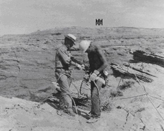
Highscalers, 1955.

These guys were gutsy! They’re getting ready to scale the canyon wall at the site of Glen Canyon Dam before there was a dam. They’re standing near the location of the present day Visitor’s Center. The “MM” in the background is a reference to Manson Mesa, the site of the future town of Page.  This photo was dated 1955.

-Mike

Early Aerial Shot of Page

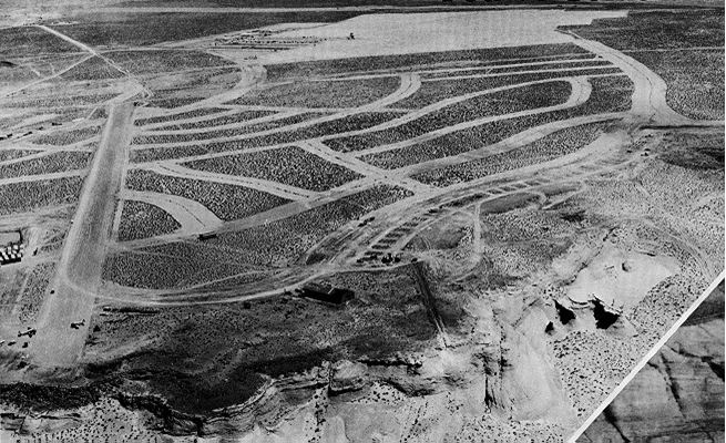
Very early aerial shot of Page. I’m thinking pre-1958 since the Butler buildings aren’t there. This picture was embedded in a Word document who’s author was Greg Woodard. Very cool pic!

This is one of my favorite pictures. This view shows the original dirt airstrip that cuts through what is now part of North Navajo drive, First Avenue, Date Street, Elm Street, etc. You can see a couple of airplanes parked at the end of the runway. The Butler Buildings weren’t there yet (they were the early school buildings located on the curve of Navajo drive near the bottom of this picture). Construction was starting for the transa homes along South Navajo Drive and the MCS trailer court in the distance. This is an amazing picture.

-Mike

Add a Page to Your Trip

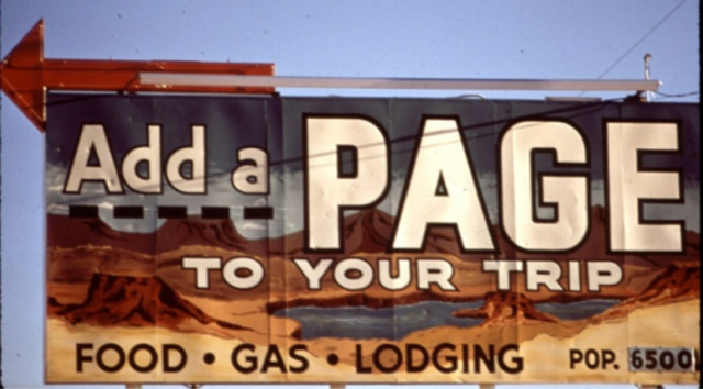
This sign was on US 89 and welcomed early visitors to Page.

I thought it was a good idea to give my first post this title. For many years there was a small wooden sign near the north exit to Page on US 89 that read “Add a Page to Your Trip”. It was eventually replaced by the one above but today, neither is there.

-Mike